The Forest Trail, Ovar, consists of a short route (PR1) marked. In total, there are about 6.5Km (circular route) that lead us through the Ovar forest.
As always, we recommend that you have the trail map on your phone (here) and, if possible, a GPS app. In our case, we downloaded the GPX file for free from Wikilok (here). We imported the file into the GPX Viewer mobile app (the free version)—it’s not a very advanced app, but it helps us see if we’re on the right track.
The trail begins at the Hunting and Fishing Club of Ovar (formerly the Forest Guard House). You can drive into this square and park there, as there is plenty of space without getting in the way of those entering the Club. Alternatively, drive to the Vida Ovar Shopping Center parking lot and walk the 300 meters to the venue.
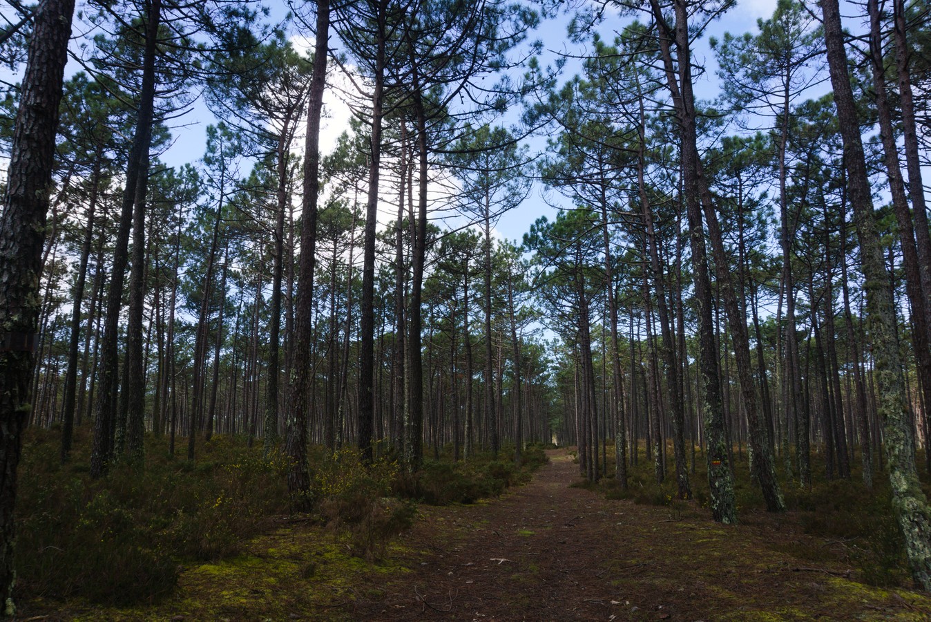
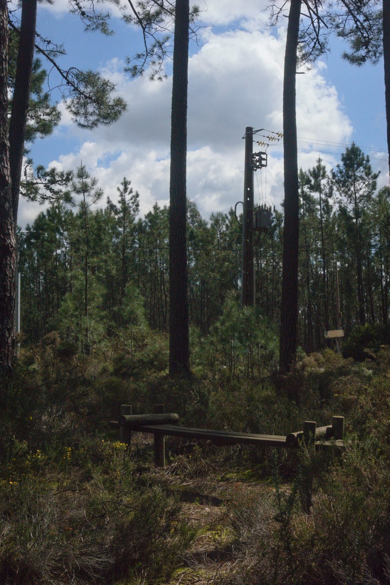
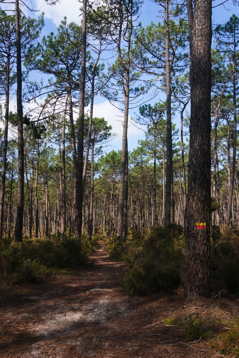
With the clubhouse on your right, continue to the left, where you’ll find a bench. Please note that there’s a wide path running parallel to the clubhouse, but that’s not the official trail! You should turn left a few meters before that.
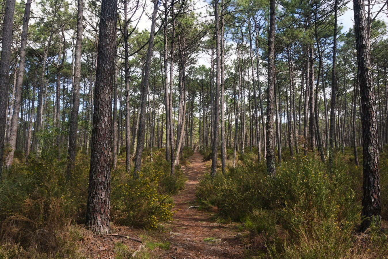
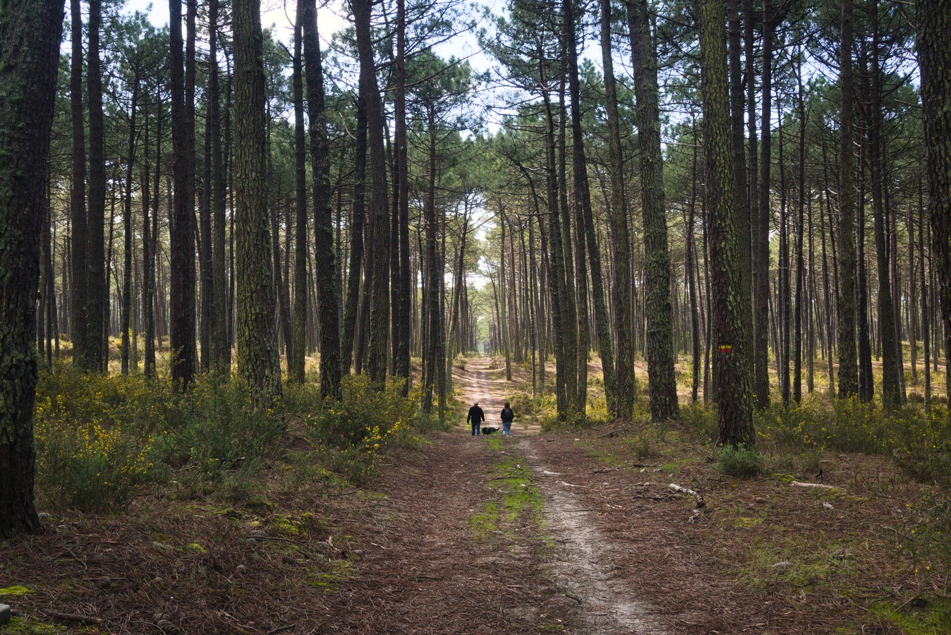
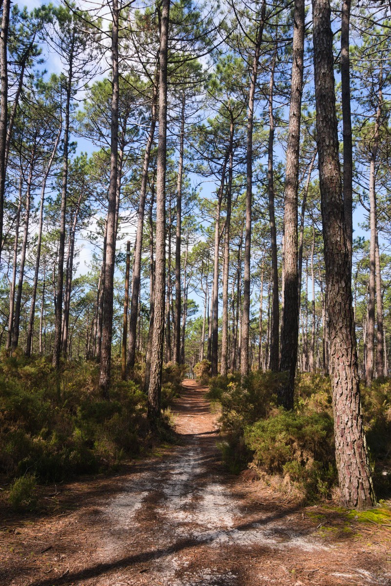
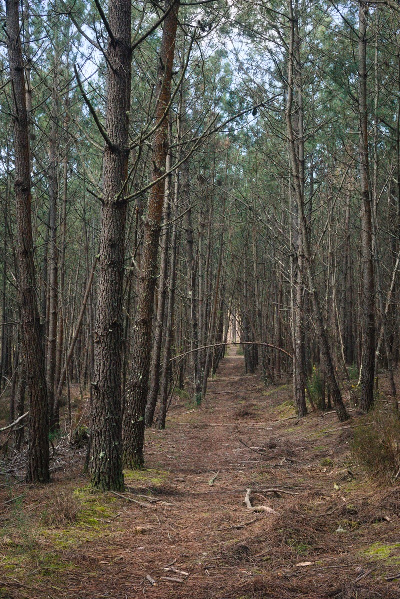
After entering the trail, turn right and continue straight ahead for quite a while. The path continues mostly in a straight line, with only a few occasional turns.
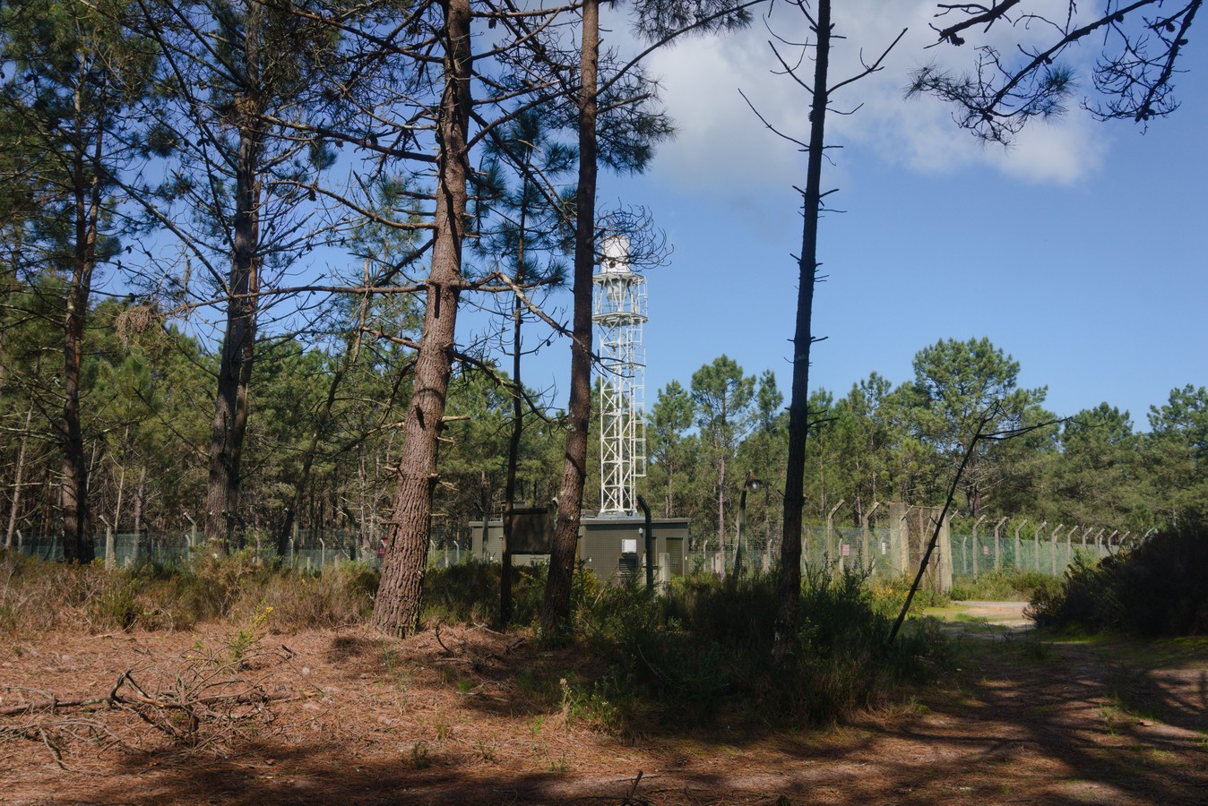
After walking 3 km, you’ll come across a structure resembling a tower or machine room, which belongs to Maceda Air Base No. 8. Just past this building, the trail markers become slightly unclear. With the building on your right, continue straight ahead, making a slight curve to the left—staying on the higher part of the trail. From here, follow the trail straight ahead for 1 km until you reach the road. Before the road, you’ll see a sign on your left; head in that direction.
On the Forest Trail, you'll find wild mushrooms, mimosa, and brooms
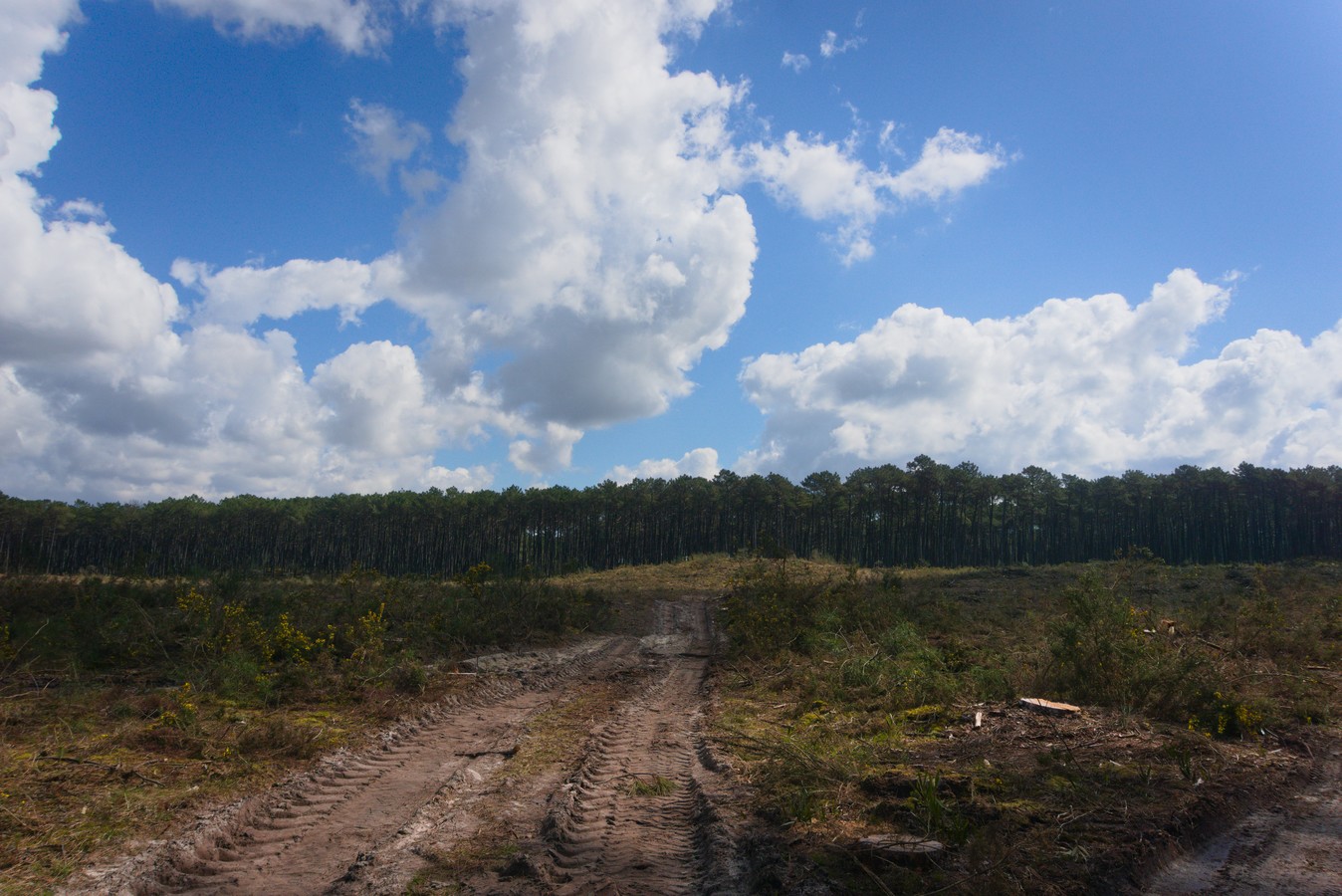
Here is another spot where the trail markers are a bit unclear. From the signpost, the trail heads “straight ahead,” following the road more closely until it turns left again. When we hiked this trail (2025), the area ahead had been the site of significant tree clearing, so the markers become less frequent. In our experience, the path continues straight ahead, passing through the now-open area, and by the time you turn right, there are already trees. However, please note that the landscape may look different when you visit.
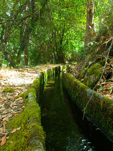
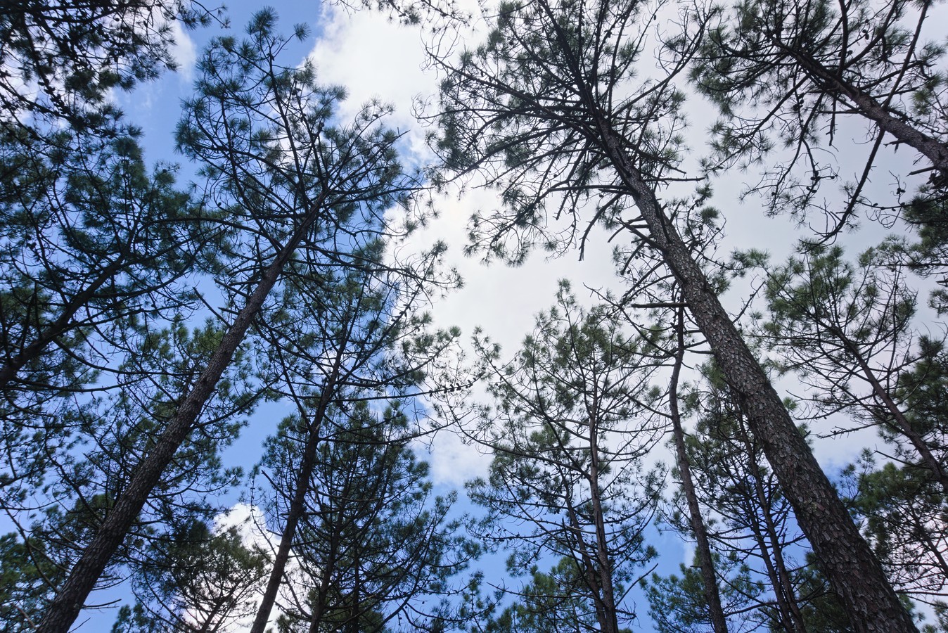
From here on out, there are two long stretches where we are once again surrounded by nature, allowing us to appreciate all it has to offer: the moss on the ground and on the trees, the 'mimosas', the broom, and the wild mushrooms.
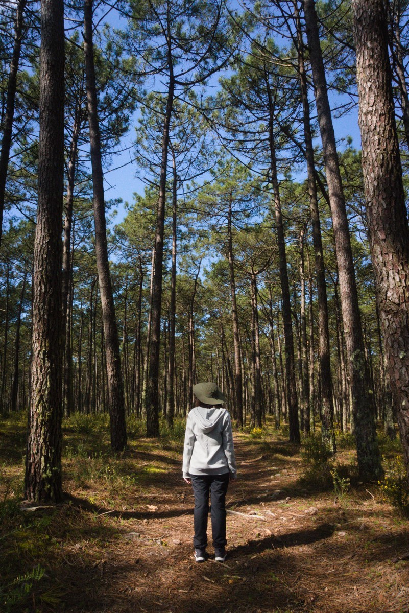
At the end of the Forest Trail, we returned to the starting point, feeling incredibly calm and relaxed. It’s a simple trail, surrounded by nature (despite the large city of Ovar right next door) and, apart from a few spots here and there, well-marked. In our case, we only used the GPS twice: after the military tower (where we later saw a fallen marker post) and, further on, as we approached the road.
In addition, we never felt unsafe. This area is used by many people for walking, jogging, or walking their dogs, since there are houses nearby.
Overall, the trail was well-marked and well-maintained. Except for the initial section, we didn’t see any trash. Of the three signposts we came across, only one still had information on it, but it seems to us that they are very old and were simply never replaced.
That said, for those looking for a trail that’s a few kilometers long but not too challenging, the Forest Trail is the perfect way to connect with nature.