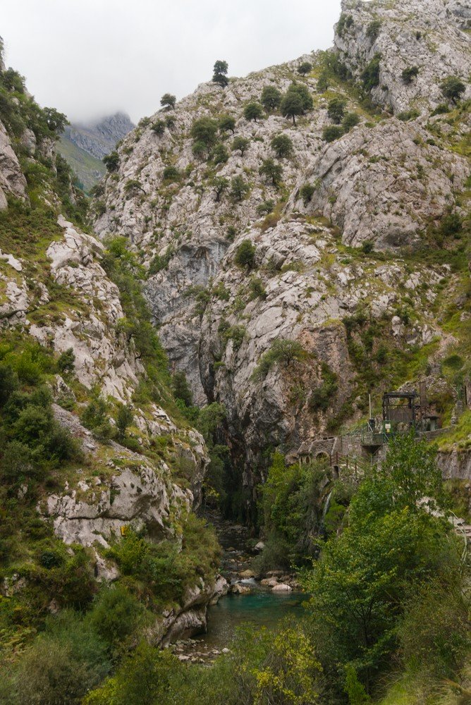
The Cares Route, also known as the Divine Gorge, is a destination that pretty much every hiking enthusiast has heard of. Firstly because of its location: in the incredible Europa Pikes National Park. And then for its beauty and history.
History of the Cares Route and Trail
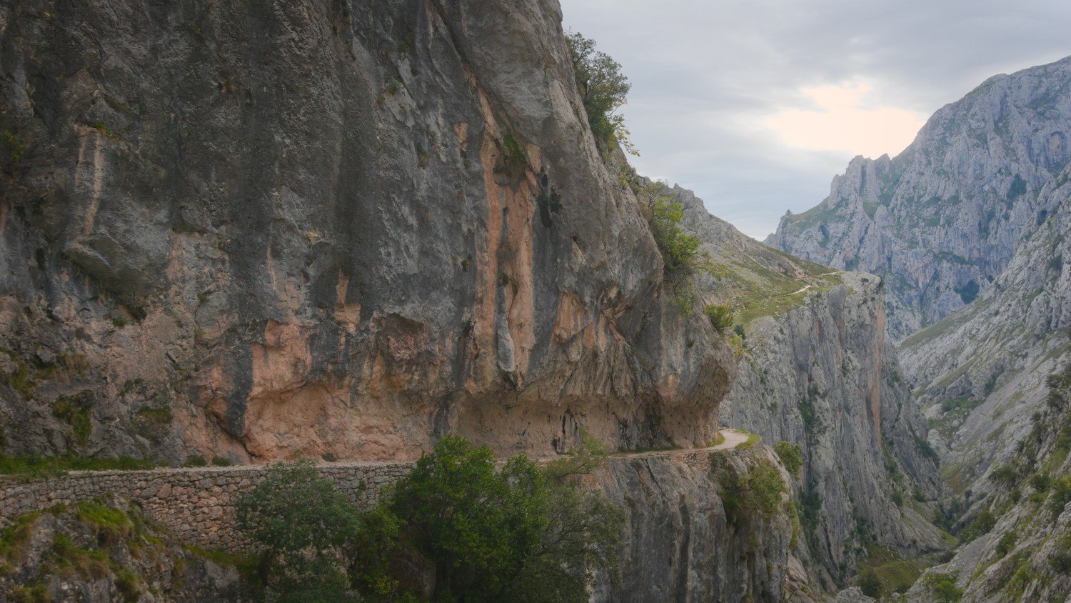
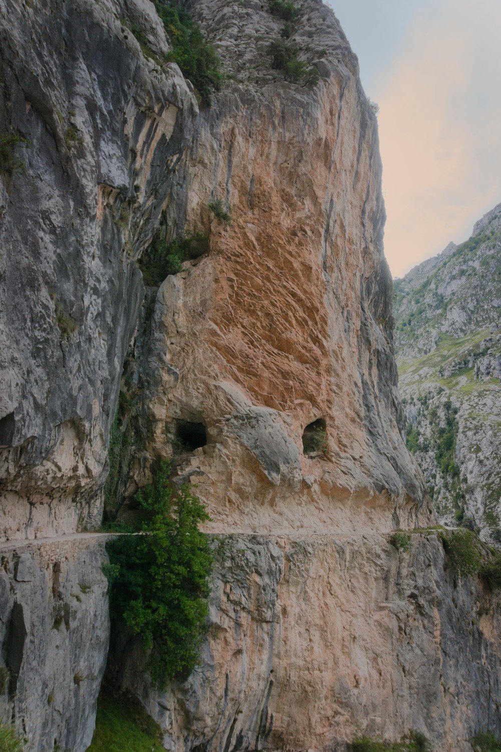
The Cares Route follows the course of an old canal that runs alongside the River Cares. The canal was built between 1915 and 1921 to supply water to the Poncebos hydroelectric power station. It is an incredible feat of engineering that was only made possible by the 500 workers who carved their way through the mountain. Of the 500 workers, 11 lost their lives during the process – most of them in falls. The tunnel was widened in the 1940s to facilitate access to and maintenance of the canal, resulting in the path we know today.
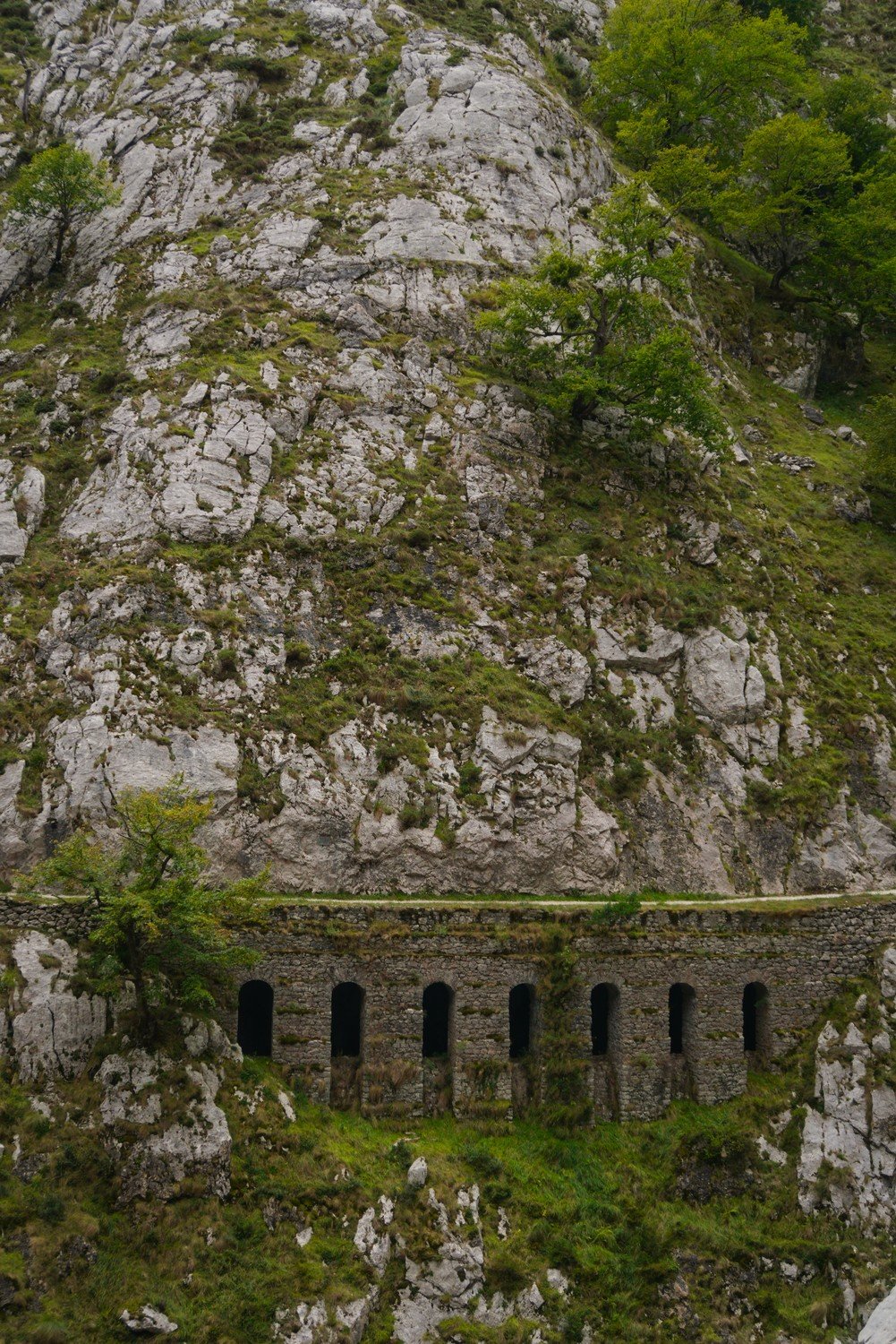
This route, consists in a trail of around 12 km each way. On top of this distance, you’ll need to factor in the walk from the bus stop or car park on either side to the start of the trail. So, always count on about 25km to 26km in total (ida e volta).
To avoid this effort, some people choose to walk in one direction only and take transport back to the other end. However, please bear in mind that the two ends of the trail are more than two hours’ drive apart.
When we did the trail, we noticed that some people choose to park in Caín and walk only the first few kilometres of the trail, which allows them to see the most scenic part of Caín, the bridges and some of the larger tunnels. This is always an option for those who are unable to walk the entire trail. However, for those who are able to do so, we wholeheartedly recommend it.
As you walk along the route, you will see numbers carved into the stone, indicating the tally of 71 water tunnels which form part of the Cares Route; it’s great fun to walk the trail and try to spot the numbers carved into the rock.
In total, to cover the entire route, it took us 3 hours and 15 minutes on the way from Poncebos to Caín and 3 hours on the return journey, so it is always necessary to allow for 6/7 hours to make this trail.
Preparing for the Trail
The Cares Route is a fairly long, linear trail with uneven terrain. At the same time, there is little shade. That said, you should take certain precautions and follow a few recommendations:
- Avoid days when it’s very windy or rainy. In our case, the wind picked up towards the end, making it much more dangerous due to the risk of falling rocks. Never forget that you’re walking along the edge of a gorge!
- Wear appropriate shoes. If you have the option, always choose hiking boots. They're more durable and provide better traction on this type of trail.
- Bring a hat and wear sunscreen. Most of the time there won't be any shade, and the sun is strong and makes you more tired!
- Be sure to bring plenty of water and snacks. The trail is long and challenging (especially the first 2 km in Poncebos), so you’ll need to keep refueling to regain your energy. If possible, bring a packed lunch and don’t rely on the support facilities.
- Start early! You should start as early as possible to 1) avoid extreme heat, 2) be able to hike at your own pace without the pressure of it getting dark, and 3) avoid crowds. As we were finishing up, we passed people who were just starting the trail, which we definitely don’t recommend. Since we started early, we had the trail practically to ourselves. It wasn’t until we were on our way back that we ran into most of the other people.
It’s also a good idea to choose months with nice weather but less heat. We’d recommend months like May, June, or (as in our case) September. That said, the weather in the European Peaks Natural Park is very unpredictable. So be prepared for changes in the weather along the way.
Arriving and starting the Cares Route
The first step is to decide which end of the trail you want to start at.
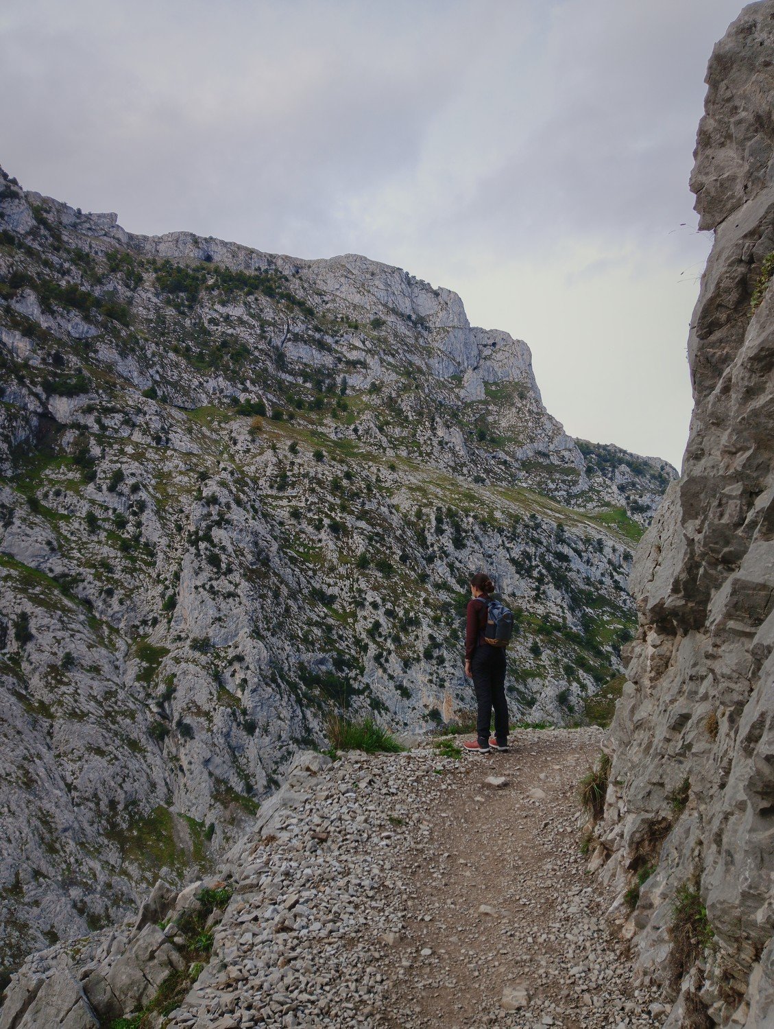
Since it is a linear path, you can choose to start in Poncebos or Caín. In our case, we started in Poncebos because it was the closest point to our lodging, and that’s the route we recommend for a few reasons:
- The hardest part of the trail is the first 2 km heading toward Poncebos–Caín. If you start with this section of the trail, you’ll tackle the hardest part right away (when the weather is milder in the early morning) and won’t have to exert that much effort later on, when you’ve already walked a few kilometers and are feeling more tired;
- The most unique part of the trail is the approach to Caín. Starting from Poncebos allows you to enjoy stunning views that gradually “unfold” until you’re surprised upon arriving in Caín.
- The facilities on the Caín side for lunch are more pleasant. On the Poncebos side, you still have to walk a bit to reach the nearest restaurant and café, whereas on the Caín side, you’ll immediately find several small shops catering to hikers, offering food, coffee, restrooms, and souvenirs. There are also picnic tables where you can eat the lunch you’ve brought along.
There are several options for getting to the trailhead. Please note that Poncebos has limited parking, and during the summer it can get very crowded. Therefore, we strongly recommend using public transportation.
On Asturias Tourism Website, you will find the dates starting from which special shuttle services are available to various tourist attractions, including the Cares Route. In our case (in September 2024), we left our car at the Arenas de Cabrales parking lot and took the first bus to Poncebos at 8:00 a.m., arriving at our destination about 30 minutes later. There’s also the option to leave your car at the Aparcamiento de Ovar, which is closer to Poncebos. To return, we took the first bus of the afternoon (at 5:30 p.m.), and we had to wait about an hour for it.
This trip cost €3 round-trip (in 2024), and we chose to buy the ticket online, even though they’re also sold on the bus itself. If you buy the ticket online, be sure to search on the Alsa's website in spanish, since the Portuguese language option usually gives an error. For the departure location, you should enter “Arenas (Cabrales),” and for the destination, “Poncebos.” These buses only run on the dates listed on the Asturias Tourism website, which are usually during long weekends in April and May and from early June through mid-October.
Making Cares Route
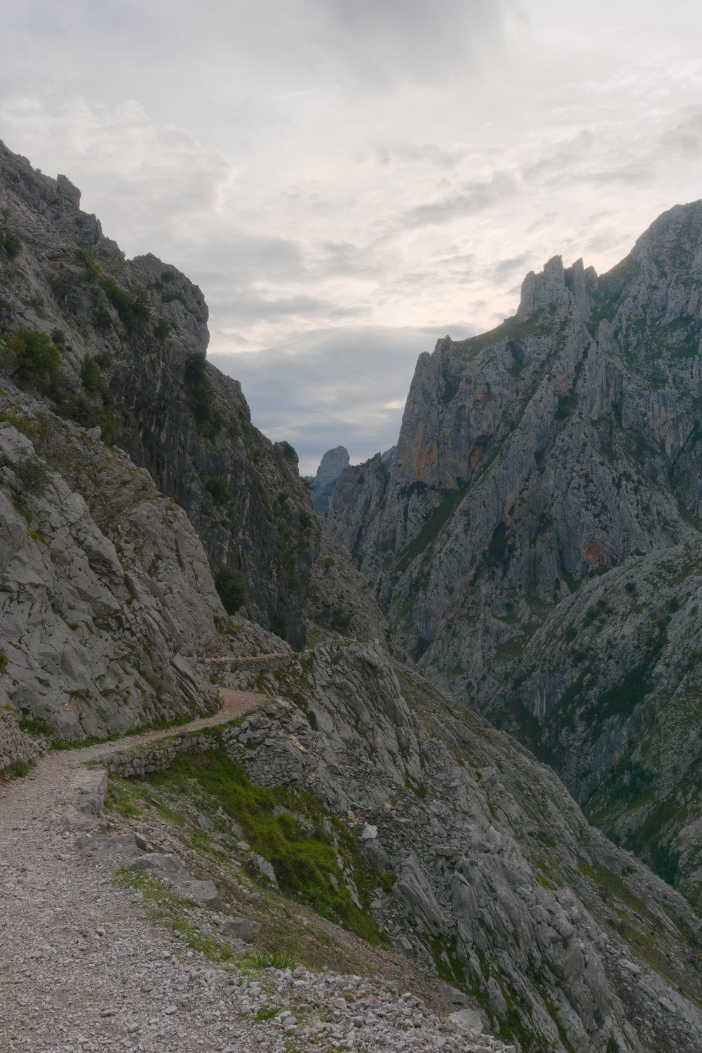
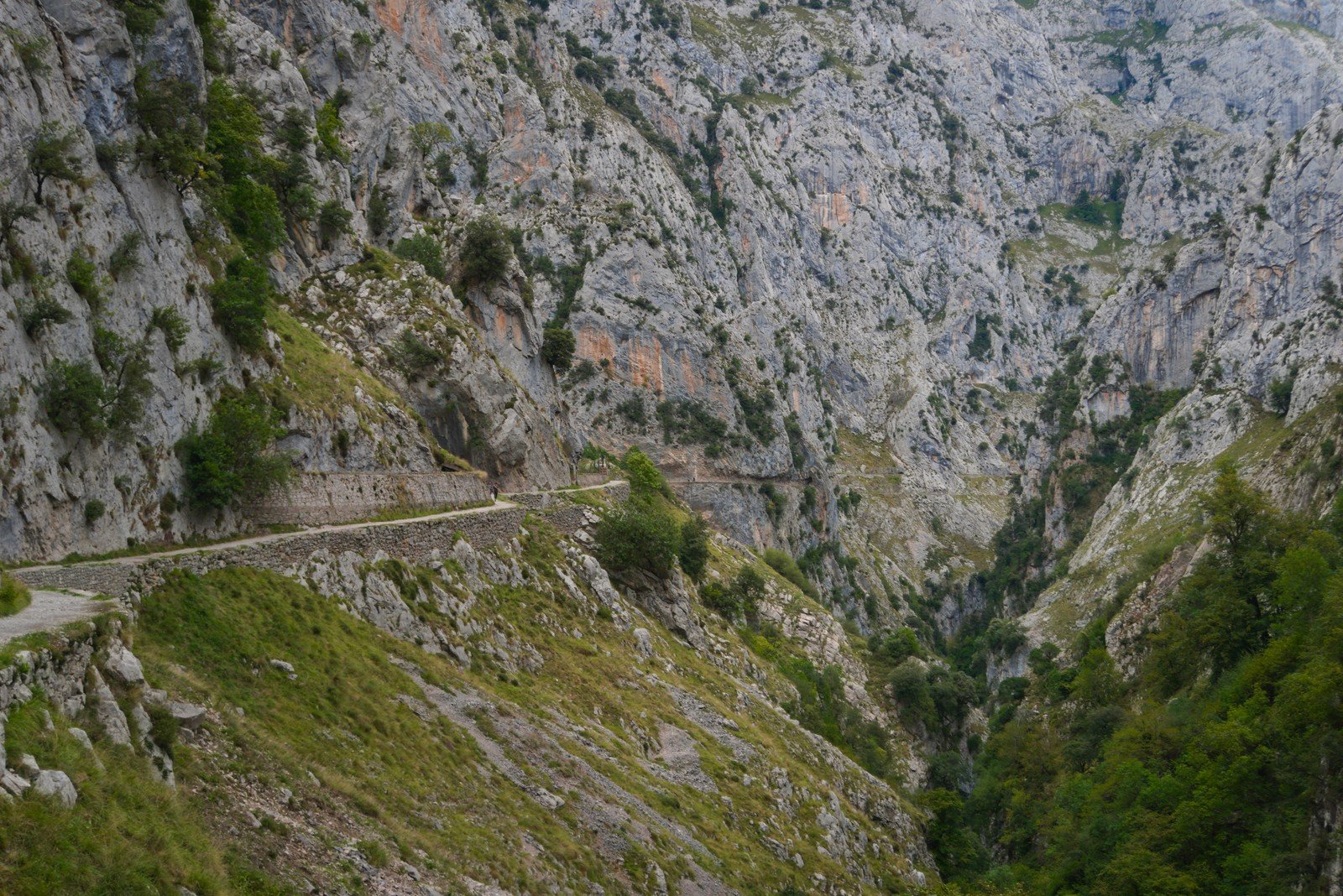
During the hike, you won't have to worry about directions: the trail is well marked and there's no way to get lost; you just need to find the trailhead.
When you get off the bus in Poncebos, that’s where the adventure begins. From here, cross the bridge over the river and head left, up the hill. Follow the road for about 850 meters, until it turns into a dirt road and you see a small support structure on your left: the trail begins right in front of that structure, on your right.
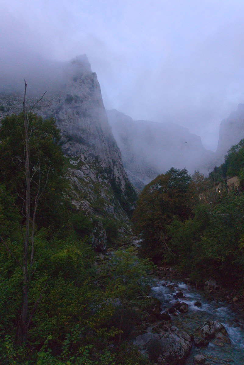
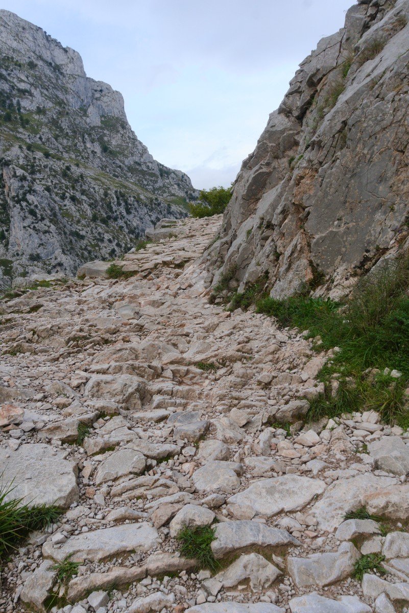
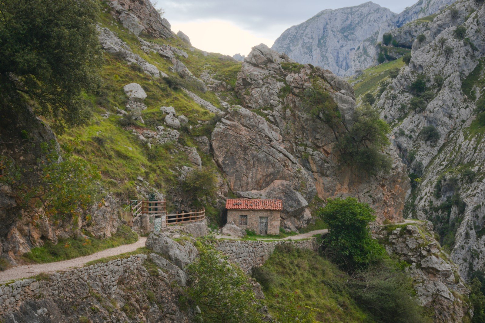
This is undoubtedly the hardest part of the trail. Over the next 2km you will climb over uneven terrain. You will continue climbing until you reach a building, and after one more push, the path will level out. From here on, the path will go up and down, but only slightly, so the effort required is minimal.
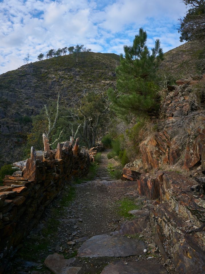
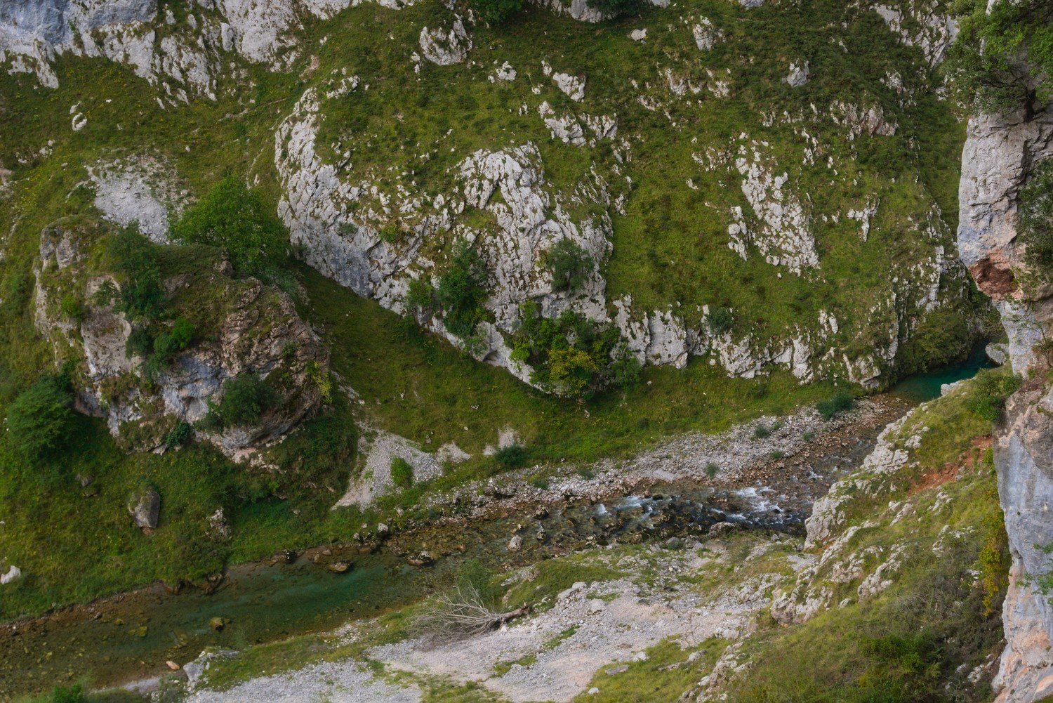
As you walk along, look to your right and look for the water channel. We found this concept really funny—we were constantly trying to figure out where the tunnel ran, and whenever there were openings that allowed us to see the tunnel, we were mesmerized by this structure.
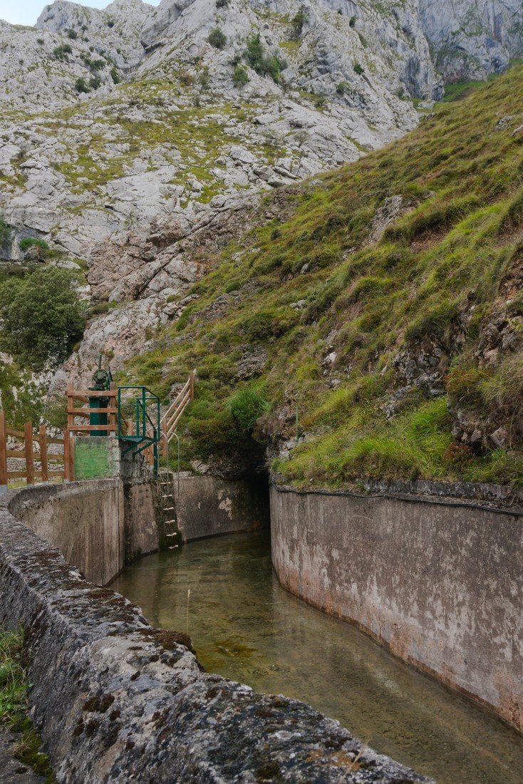
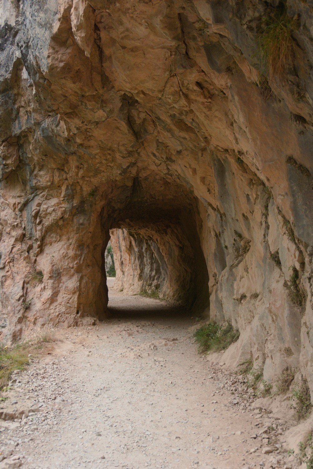
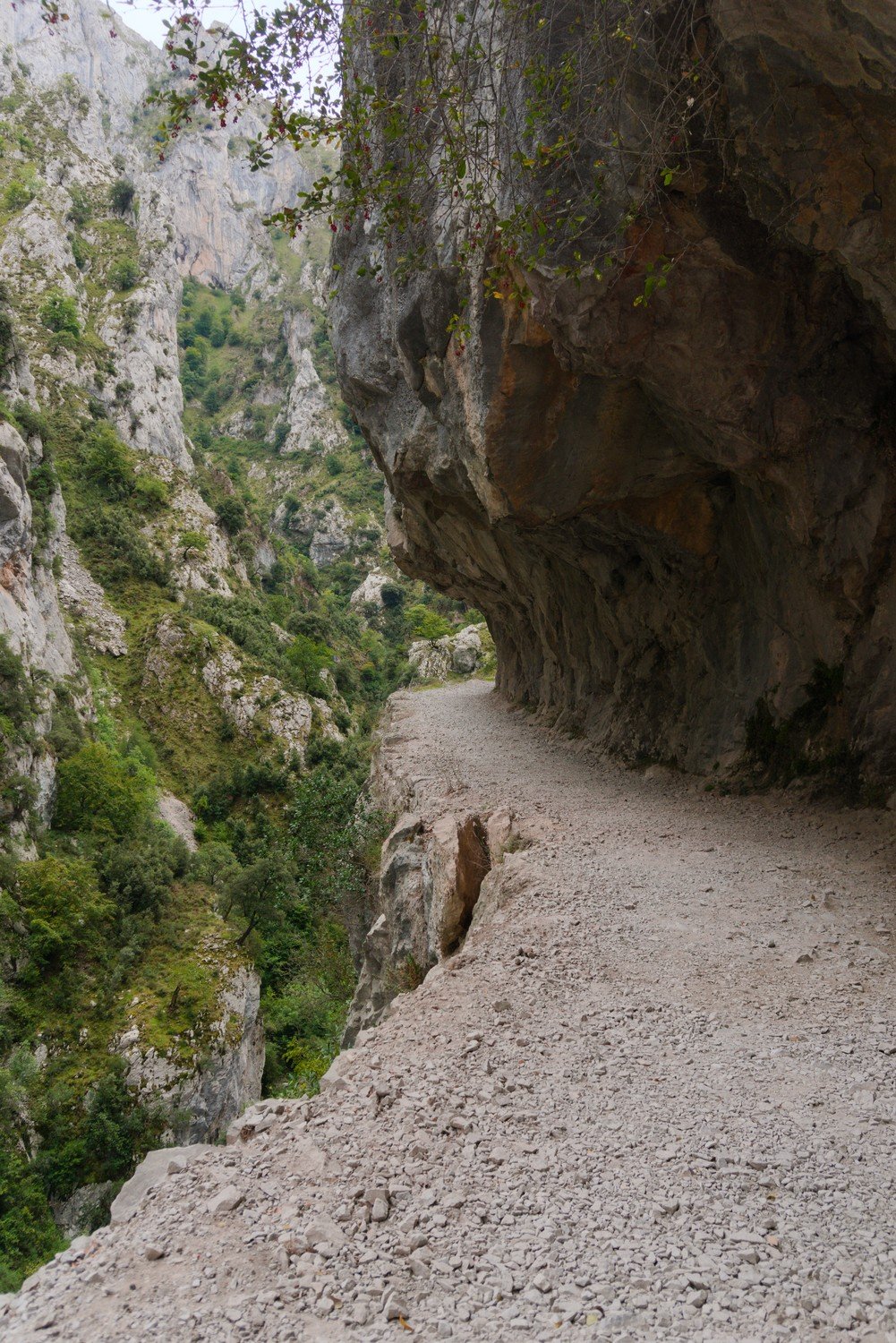
Along the way, you’ll also come across a few cave-like tunnels (some smaller, others larger), which will provide the only shade for most of the route.
On the border between Asturias and Castile and León, you'll find the Passarela de los Martinez, formerly known as La Madama de La Huertona, which was destroyed in 2012 when a rock weighing more than one metric ton blocked the path. As a solution, a wooden walkway was built here to replace the original path.
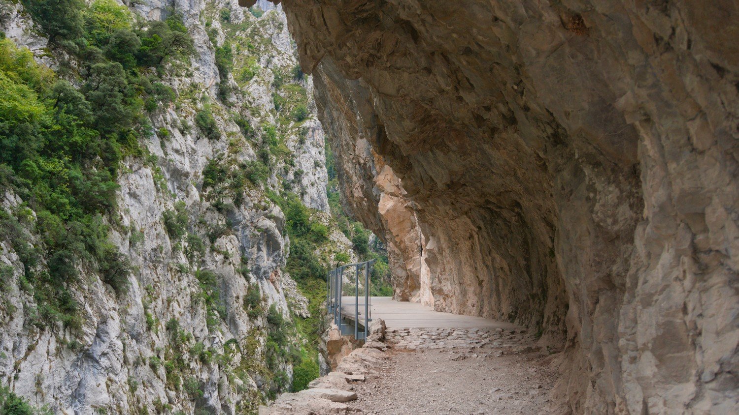
Closer to Cain, the scenery changes: we cross the river via the Bolín Bridge and we began to look at the canal on the opposite side. A little further on, we crossed the Los Rebecos Bridge and started following the channel again.
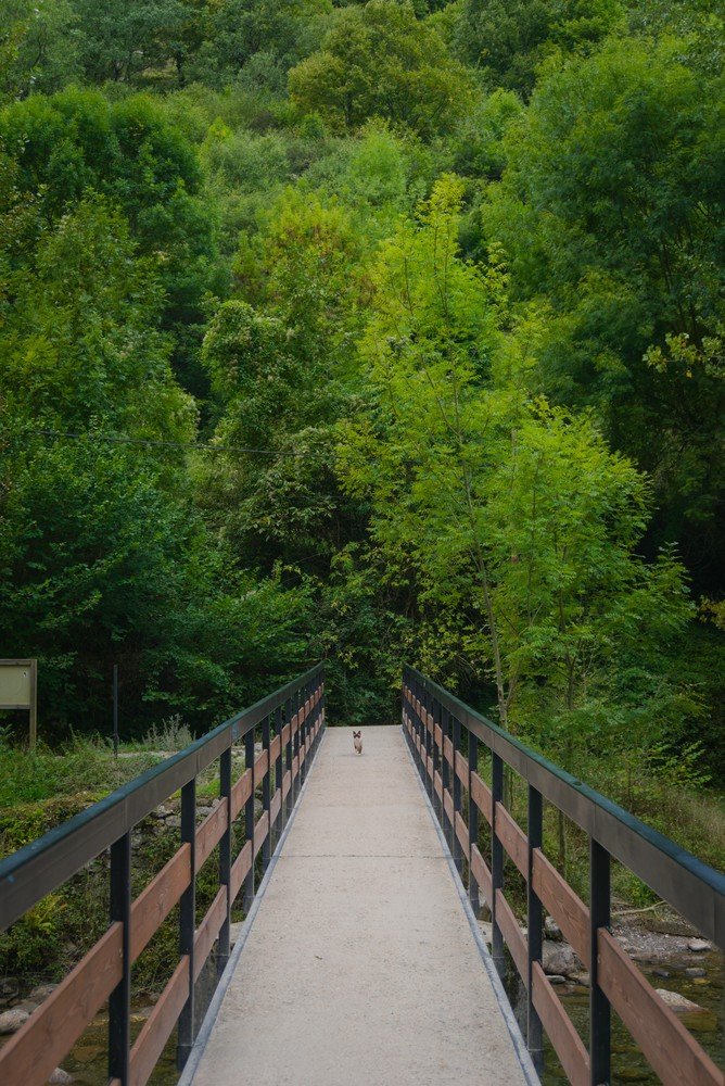
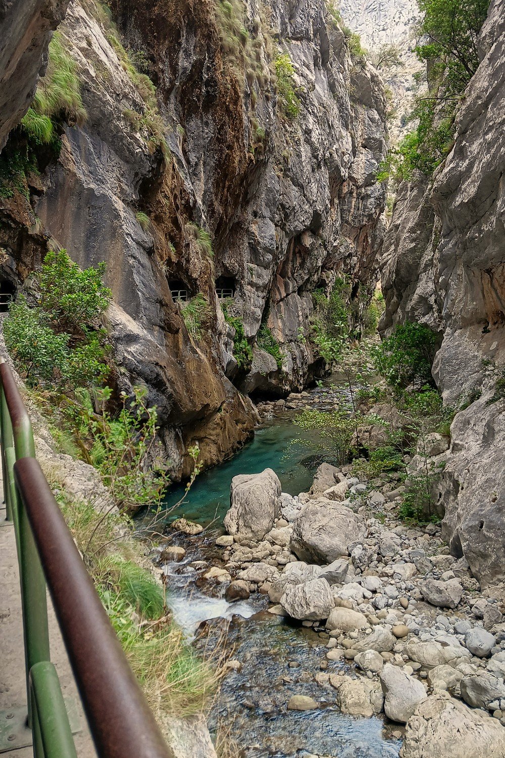
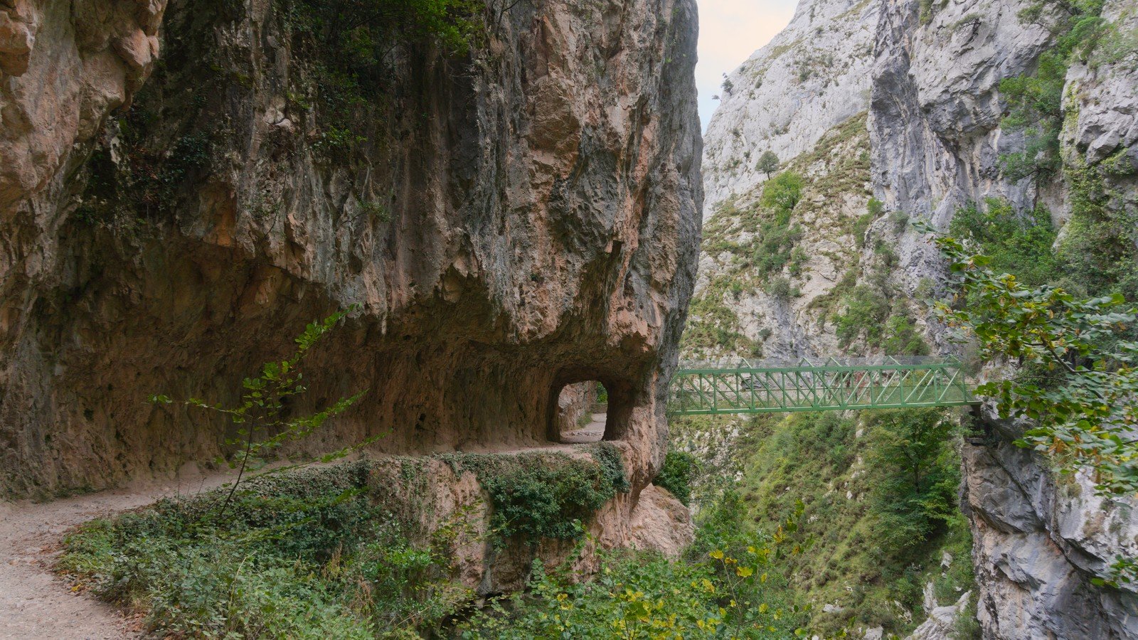
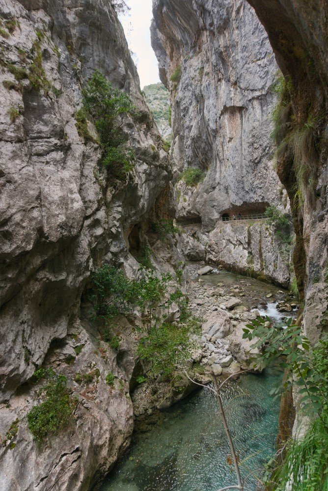
The entrance to Caín is through a series of long, damp tunnels that lead to a dam-like structure. From there, follow the path for a few more meters until you reach the cafes, restaurants, and tourist shops.
Almost 7 hours after we set out, we finished the Cares Route. We felt tired but also happy: it’s a stunning trail with unforgettable views, and one of the places we most highly recommend when talking about the Picos de Europa.